Greta Richter · 16 October 2026
Citizen Science Platforms Connecting Residents with Real-Time Data on Coastal Ecosystem Health
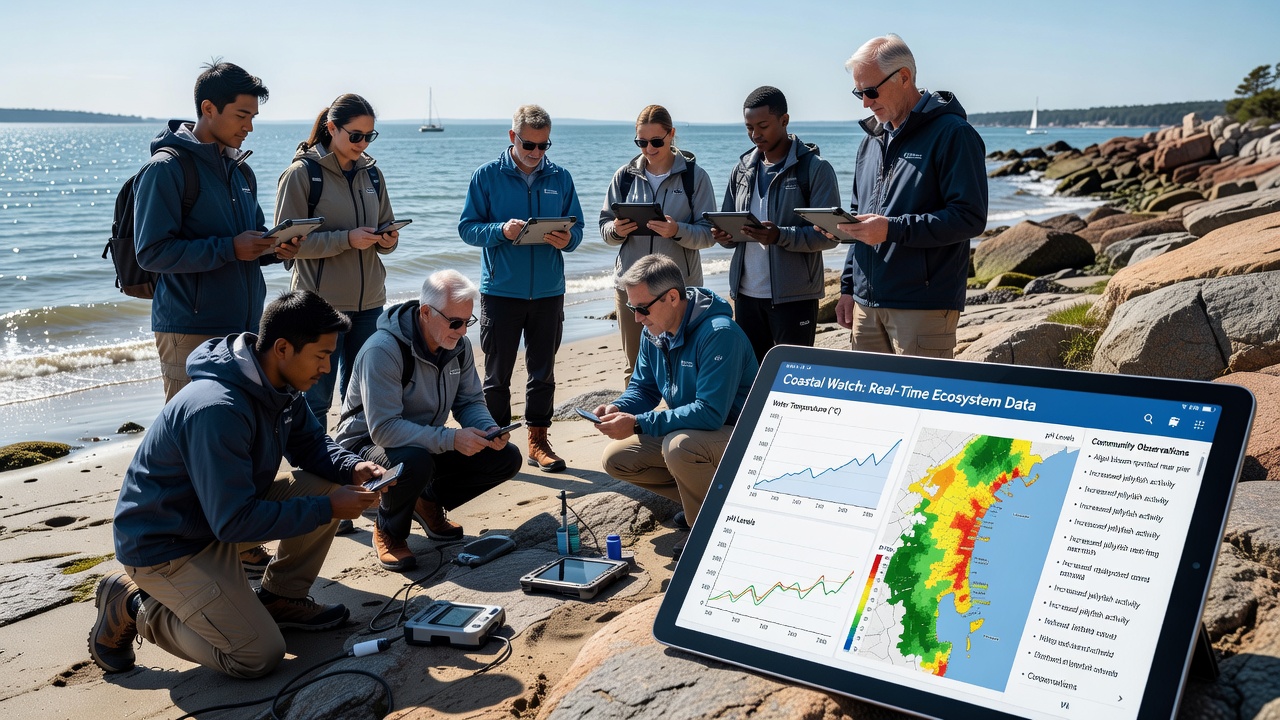
Coastal communities have increasingly turned to citizen science platforms that deliver live updates on ecosystem conditions, allowing residents to access sensor data on water temperature, salinity, pH levels, and species sightings without waiting for official reports. These systems combine smartphone applications with networks of buoys and fixed monitoring stations, and they transmit readings every few minutes so that local groups can track changes as they occur. In October 2026 several regional networks plan to expand coverage along the Pacific and Atlantic coasts, adding new sensors that measure dissolved oxygen and nutrient loads in areas previously monitored only seasonally.
Platform Mechanics and Data Flow
Users download an application, register their location, and receive prompts to verify automated readings or submit photos of algae blooms and shoreline erosion. The software cross-checks submissions against nearby instrument data, then posts verified entries to public dashboards that anyone can view on a phone or computer. Researchers at institutions such as the Australian Institute of Marine Science have documented how this verification step reduces false positives by roughly 40 percent compared with unfiltered uploads. Data streams also feed into larger repositories managed by government agencies, which in turn refine predictive models for storm surge and harmful algal events.
Geographic Reach and Participation Trends
Platforms now operate in more than thirty countries, with dense clusters along the Gulf of Mexico, the North Sea, and the Great Barrier Reef lagoon. Participation numbers rose sharply after 2023 when several apps added offline modes that sync once a signal returns, and this feature proved especially useful for island communities with intermittent connectivity. Observers note that volunteers range from high-school classes conducting weekly transects to fishing cooperatives logging catch locations alongside water-quality tags. In regions where commercial shellfish beds require frequent testing, these combined records have shortened the time between sample collection and harvest-area reopening from days to hours.
Technology Integration and Sensor Networks
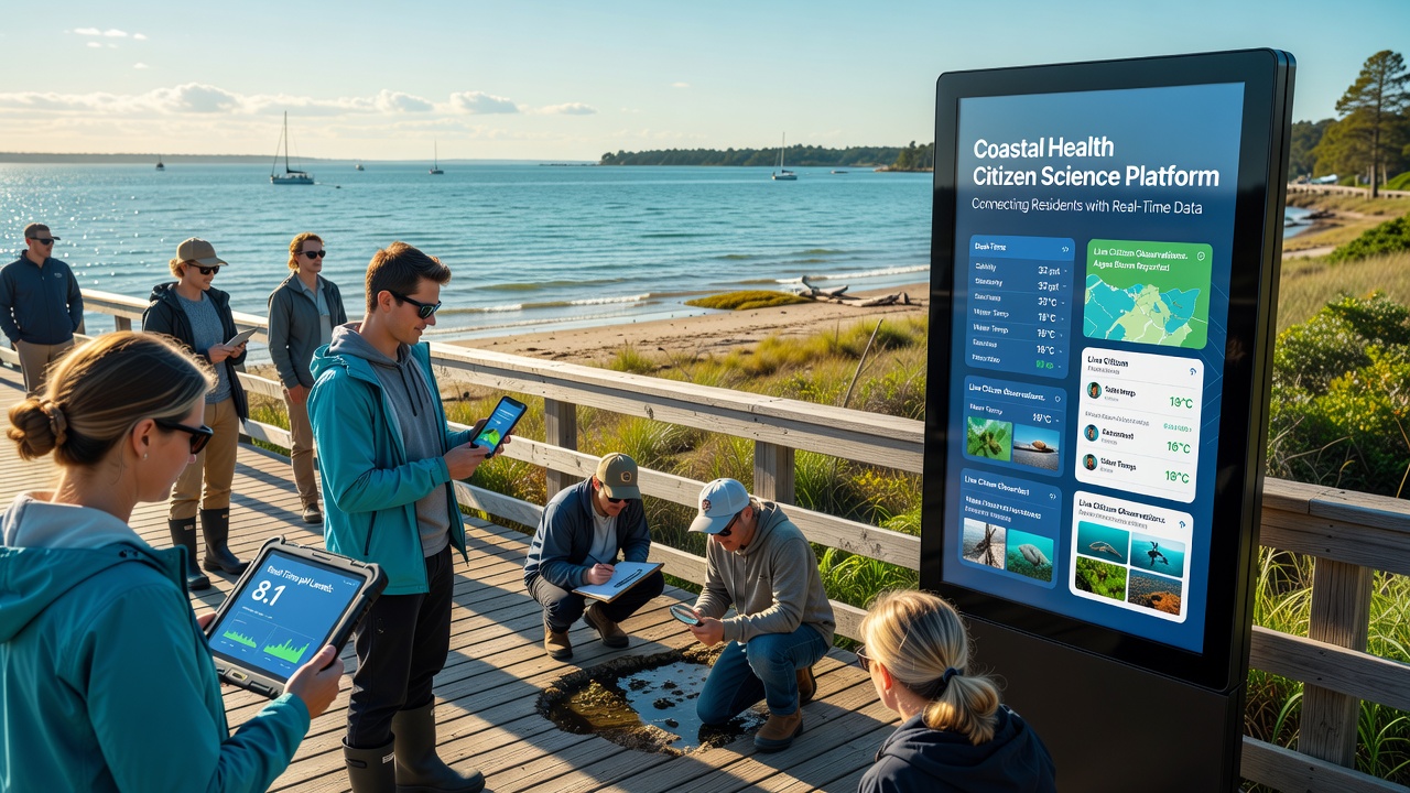
Low-cost probes attached to docks or pilings measure basic parameters and relay results through LoRaWAN or cellular links, while satellite imagery supplies broader context on turbidity and chlorophyll concentrations. Machine-learning filters flag anomalies that trigger alerts to nearby participants, prompting them to collect additional samples at the same site. A 2025 joint report from Environment and Climate Change Canada and European marine research centers showed that integrating citizen-submitted photographs with satellite data improved bloom-detection accuracy by 25 percent in the St. Lawrence estuary and the Baltic Sea alike. Battery life on newer probes now exceeds eighteen months, reducing maintenance trips and allowing continuous coverage through winter months when earlier models failed.
Real-World Applications in Resource Management
Local governments use the aggregated datasets to adjust beach-closure thresholds during heat waves, and fisheries managers consult the same feeds when setting temporary catch limits around spawning grounds. One documented case along the Oregon coast demonstrated how rapid pH alerts allowed shellfish growers to move juvenile oysters to deeper water before acidification events caused mass mortality. Similar programs in New Zealand have paired citizen observations of kina density with temperature spikes, helping regulators identify zones where urchin barrens are expanding and where restoration efforts should focus next. These examples illustrate how the platforms move beyond simple data collection to support time-sensitive decisions that affect both livelihoods and biodiversity.
Challenges in Data Quality and Equity
Despite rapid growth, coverage remains uneven; remote Arctic and tropical island coastlines still lack sufficient sensor density, and language barriers limit participation in some multilingual regions. Calibration drift in low-cost sensors can introduce bias, so platform operators run periodic comparison tests against reference instruments maintained by national laboratories. Training modules embedded in the apps teach volunteers proper sampling techniques, and some networks require a short certification quiz before users can submit data that influences management decisions. Funding for sensor replacement and server maintenance continues to rely on a patchwork of grants, which creates uncertainty for long-term operation in under-resourced areas.
Future Outlook Through 2026 and Beyond
By late October 2026 developers expect to roll out standardized APIs that let municipal early-warning systems pull citizen data directly into emergency dashboards, and pilot programs in three Canadian provinces will test whether these integrations reduce response times during red-tide closures. Meanwhile, academic groups continue to refine algorithms that separate genuine ecological signals from recreational noise, such as swimmers disturbing sediment near sensors. As more coastal nations adopt open-data policies, the volume of shared records is projected to double within two years, creating richer baselines for studying long-term shifts driven by warming waters and changing land-use patterns.
Conclusion
Citizen science platforms have established a direct link between residents and the continuous stream of measurements that describe coastal ecosystem health, turning everyday observations into actionable datasets used by scientists and managers alike. The combination of affordable sensors, mobile verification tools, and public dashboards has expanded geographic coverage while shortening the interval between detection and response. Ongoing refinements in calibration, equity of access, and integration with official systems will determine how widely these networks scale in the coming years, yet the core mechanism—residents contributing to and benefiting from real-time coastal information—remains firmly in place.